Geological mapping Courses
Explore instructor-led and hybrid programs aligned to practical Geological mapping use cases across industries.
Available Geological mapping Courses
Showing 1-6 of 6 courses

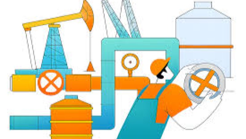
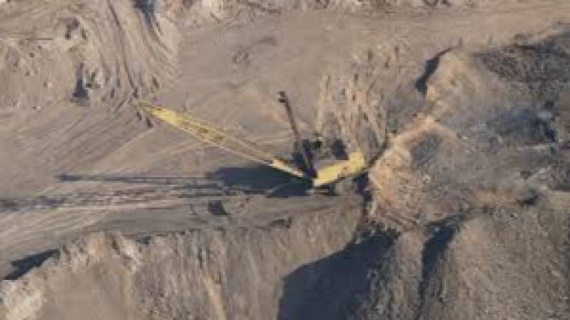
Mineral & Mining Engineering
5 days
Accra, Addis Ababa, Bangkok, Cape Town, Dubai, Istanbul, Kigali, Nairobi, Singapore
Carbonate-Hosted Ore Systems Training Course
Carbonate-Hosted Ore Systems Training Course is designed to provide geoscientists, exploration managers, and mining professionals with a holistic, deep-dive understanding of these systems
Carbonate-Hosted Ore Systems Training Course is designed to provide geoscientists, exploration managers, and mining professionals with a holistic, deep-dive understanding of these systems
Mineral & Mining Engineering
5 days
Accra, Addis Ababa, Bangkok, Cape Town, Dubai, Istanbul, Kigali, Nairobi, Singapore
Engineering Geology for Mining Training Course
Engineering Geology for Mining Training Course emphasizes practical field-based understanding combined with laboratory analysis and digital tools such as GIS mapping, remote sensing, 3D geological modeling, and geotechnical software applications.
Engineering Geology for Mining Training Course emphasizes practical field-based understanding combined with laboratory analysis and digital tools such as GIS mapping, remote sensing, 3D geological modeling, and geotechnical software applications.

Mineral & Mining Engineering
10 days
Accra, Addis Ababa, Bangkok, Cape Town, Dubai, Istanbul, Kigali, Nairobi, Singapore
Mineral Alteration Mapping Training Course
Mineral Alteration Mapping Training Course provides an advanced, industry-aligned framework for understanding alteration mineralogy, spectral signatures, remote sensing integration, and field validation techniques.
Mineral Alteration Mapping Training Course provides an advanced, industry-aligned framework for understanding alteration mineralogy, spectral signatures, remote sensing integration, and field validation techniques.
Mineral & Mining Engineering
5 days
Accra, Addis Ababa, Bangkok, Cape Town, Dubai, Istanbul, Kigali, Nairobi, Singapore
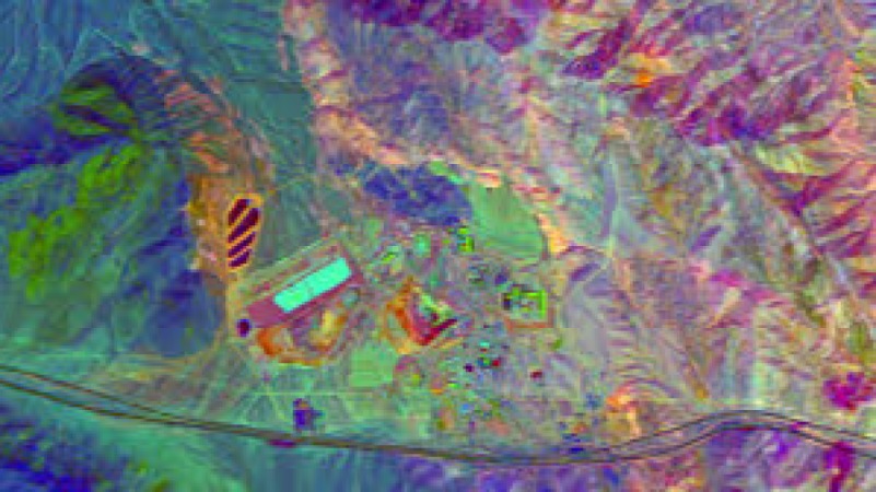
Remote Sensing & Satellite Mining Training Course
Remote Sensing & Satellite Mining Training Course is designed to equip learners with cutting-edge skills in GIS (Geographic Information Systems), LiDAR analysis, multispectral and hyperspectral satellite data interpretation, and predictive mineral exploration modeling.
Remote Sensing & Satellite Mining Training Course is designed to equip learners with cutting-edge skills in GIS (Geographic Information Systems), LiDAR analysis, multispectral and hyperspectral satellite data interpretation, and predictive mineral exploration modeling.
Mineral & Mining Engineering
5 days
Accra, Addis Ababa, Bangkok, Cape Town, Dubai, Istanbul, Kigali, Nairobi, Singapore
Remote Sensing in Mineral Exploration Training Course
Remote Sensing in Mineral Exploration Training Course focuses on integrating multispectral and hyperspectral satellite data with geological datasets to enhance exploration efficiency, reduce costs, and improve decision-making accuracy in mineral-rich terrains.
Remote Sensing in Mineral Exploration Training Course focuses on integrating multispectral and hyperspectral satellite data with geological datasets to enhance exploration efficiency, reduce costs, and improve decision-making accuracy in mineral-rich terrains.
Mineral & Mining Engineering
5 days
Accra, Addis Ababa, Bangkok, Cape Town, Dubai, Istanbul, Kigali, Nairobi, Singapore
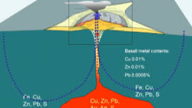
Volcanogenic Massive Sulphide (VMS) Systems Training Course
Volcanogenic Massive Sulphide (VMS) Systems Training Course is designed for professionals seeking advanced expertise in mineral exploration geology, ore deposit modelling, and mining geology workflows.
Volcanogenic Massive Sulphide (VMS) Systems Training Course is designed for professionals seeking advanced expertise in mineral exploration geology, ore deposit modelling, and mining geology workflows.